Arctic Map [Quenched]

Care to peruse completed maps? Take a stroll through the Atlas.

Moderator: Cartographers

Forum rules
Please read the Community Guidelines before posting.
Post Reply
User avatar
Bad Speler
Posts: 1027
Joined: Fri Jun 02, 2006 8:16 pm
Gender: Male
Location: Ottawa
Contact:

Arctic Map [Quenched]

Post by Bad Speler »

Below is a link to a map of the arctic.
[img=http://img110.imageshack.us/img110/561/arcticmz3.th.jpg]

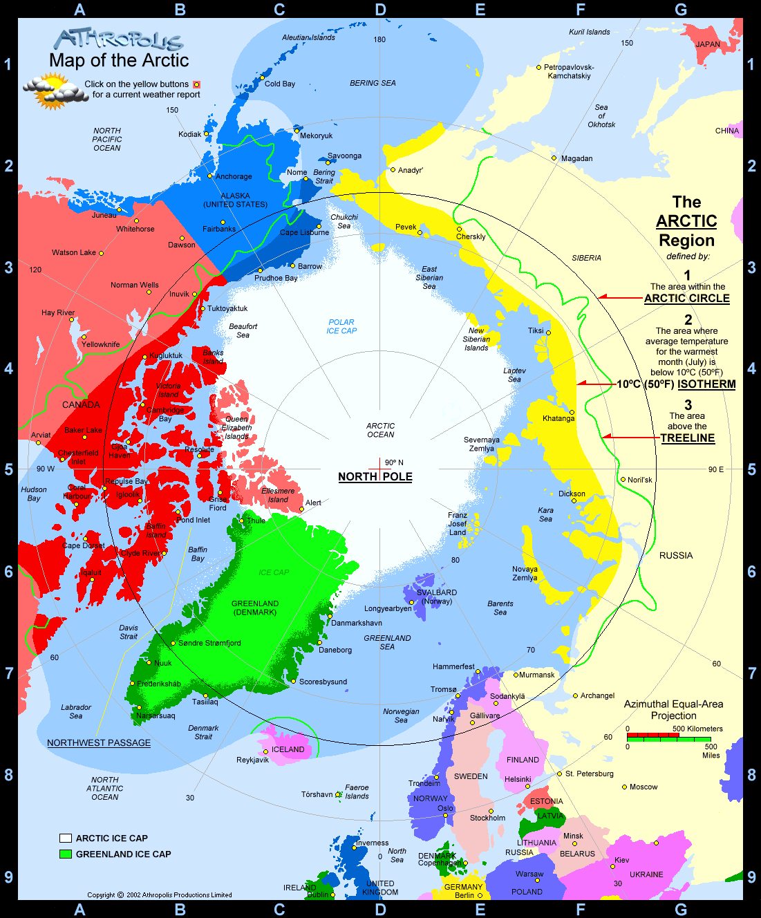
I know the graphics need some work (ok, alot), but at the moment im more interested in the gameplay. There are 39 countries and 6 continents. Any, and all feedback/critisism is welcome. Im wondering if i have the army bonuses right, the positions of the countries/continents, etc.

Let me know what you think.

___________________________________________________

Final Versions

Image

Image

And, for play at home fun...

Arctic Supersize Version
http://www.wikiupload.com/download_page.php?id=89506 (51x42 cm)

Arctic Cards
http://www.wikiupload.com/download_page.php?id=89510

NOTE: These links may be broken. If so, please contact me if you want a supersize version, and I will fix the links.
Last edited by Bad Speler on Sun Feb 25, 2007 5:22 pm, edited 10 times in total.
sfhbballnut
Posts: 1687
Joined: Fri May 05, 2006 3:01 pm

looks good

Post by sfhbballnut »

I like it :D
User avatar
Bad Speler
Posts: 1027
Joined: Fri Jun 02, 2006 8:16 pm
Gender: Male
Location: Ottawa
Contact:

Post by Bad Speler »

Any ideas on how to improve it?
User avatar
AndyDufresne
Posts: 24935
Joined: Fri Mar 03, 2006 8:22 pm
Location: A Banana Palm in Zihuatanejo
Contact:

Post by AndyDufresne »

First I'll say 39 countries is alright, many people push for the 'risk numbers' (I.E. 42, 48, etc), to keep neutral territories to a minimum. Just something to consider.

As for gameplay, it is an interesting look map. I like the idea. It looks like most of the continents are balanced, but I'll have to look at them closer later. One thing I noticed right away though was the Wheel Aspect to this map. Getting around the map is a little hindered, due to lack of connections from the east to west and north to the south, etc.

One idea to alleviate this wheel effect, would be consider looking into using some of the polar ice cap to create connections (and also boost the country count if you so wish). Anyways, I'll be back to comment further on the balance, and then help with the asthetics.


--Andy
User avatar
devilseyesdd
Posts: 35
Joined: Sun Jul 23, 2006 12:58 pm
Contact:

Post by devilseyesdd »

lets see the map
User avatar
Bad Speler
Posts: 1027
Joined: Fri Jun 02, 2006 8:16 pm
Gender: Male
Location: Ottawa
Contact:

Post by Bad Speler »

If you click the link on the first post, you'll see the map.
User avatar
P Gizzle
Posts: 4100
Joined: Fri Aug 04, 2006 5:00 pm
Location: Somewhere being absolutely AWESOME!

Post by P Gizzle »

good idea. i also think it would be cool to have an antarctica map. just an idea
User avatar
Bad Speler
Posts: 1027
Joined: Fri Jun 02, 2006 8:16 pm
Gender: Male
Location: Ottawa
Contact:

Post by Bad Speler »

Well, there has been a suggestion about an Antarctica map, but it's basically been rejected due to the fact that it would be hard to seperate it into countries.
Here's the link to the antarctica map suggestion if you're interested
Last edited by Bad Speler on Sat Aug 12, 2006 12:09 pm, edited 2 times in total.
User avatar
happysadfun
Posts: 1251
Joined: Mon Jul 10, 2006 9:06 pm
Location: Haundin at DotSco, Being Sad that Mark Green Lost in Suburban Wisconsin

Post by happysadfun »

i like it but northern alaska looks a bit more like western alaska if u look at it right
ImageChildren, this is what happens to hockey players, druggies, and Hillary Clinton.

Rope. Tree. Hillary. Some assembly required.
User avatar
Bad Speler
Posts: 1027
Joined: Fri Jun 02, 2006 8:16 pm
Gender: Male
Location: Ottawa
Contact:

Post by Bad Speler »

Thanks for that! I keep getting messed up because North is in the center of the map, and not the top. I've used the same principle and switched Eastern and Western Sakha around. I also took Andy's suggestion about putting the polar ice cap. Here's the link to the image.
The continent bonus for the polar ice cap is up for debate. I'm thinking 4.

EDIT: This is no longer the current version of the map. Go down a few posts to find it.
Last edited by Bad Speler on Sat Aug 12, 2006 12:10 pm, edited 1 time in total.
User avatar
happysadfun
Posts: 1251
Joined: Mon Jul 10, 2006 9:06 pm
Location: Haundin at DotSco, Being Sad that Mark Green Lost in Suburban Wisconsin

Post by happysadfun »

i think four or five, too, to centralize the fighting. but to justify that, there should be nore attack routes to it.
ImageChildren, this is what happens to hockey players, druggies, and Hillary Clinton.

Rope. Tree. Hillary. Some assembly required.
User avatar
Bad Speler
Posts: 1027
Joined: Fri Jun 02, 2006 8:16 pm
Gender: Male
Location: Ottawa
Contact:

Post by Bad Speler »

I've added attack routes from North Pole to Nenets, and from Russian ice to Eastern Sakha. To keep Asian Russia balanced, I changed the attack route of Aleutian Islands to Kamchatka. It now leads to Chutkotka.

Image
(Click to enlarge)

EDIT: Keep going down, this is no longer the current version
Last edited by Bad Speler on Mon Aug 21, 2006 11:43 am, edited 1 time in total.
User avatar
gavin_sidhu
Posts: 1428
Joined: Mon May 22, 2006 6:16 am
Location: Brisbane, Australia

Post by gavin_sidhu »

I love the idea of an arctic map.

I googled arctic map nd came up with this:
http://www.athropolis.com/graphics/arcticmap4-new.gif

Just a suggestion but I think you should focus more on the arctic circle than you are currently doing. Excluding Iceland, most of your continent "europe" doesnt need to be there. I think you should have much more islands which border the pack ice like Franz Josef Land, Severnaya Zemlya (which you currently have incorparated into Nenets) New Siberian Island, Wrangel Island (the unamed island between the chuckchi and east siberian sea in the first link) and queen elizabeth islands.

Also your map looks kinda small.

Edit: look at the Russia map being made, you could copy a couple of his territories for your map.
Last edited by gavin_sidhu on Sat Aug 12, 2006 9:30 pm, edited 1 time in total.
Highest Score: 1843 Ranking (Australians): 3
User avatar
happysadfun
Posts: 1251
Joined: Mon Jul 10, 2006 9:06 pm
Location: Haundin at DotSco, Being Sad that Mark Green Lost in Suburban Wisconsin

Post by happysadfun »

i think the europe parts are fine. this is kinda like the caribbean sea argument, there needs to be something more than just the focused region
ImageChildren, this is what happens to hockey players, druggies, and Hillary Clinton.

Rope. Tree. Hillary. Some assembly required.
User avatar
Bad Speler
Posts: 1027
Joined: Fri Jun 02, 2006 8:16 pm
Gender: Male
Location: Ottawa
Contact:

Post by Bad Speler »

I agree, mostly because of the fact that there's not much up there in the arctic.
User avatar
Marvaddin
Posts: 2545
Joined: Thu Feb 09, 2006 5:06 pm
Location: Belo Horizonte, Brazil

Post by Marvaddin »

I like the idea, but I would like to see an image with a better resolution, please. And maybe we can choose another name to these NA Ice, Russia Ice...
Image
User avatar
stevegriffiths23
Posts: 96
Joined: Thu Jul 13, 2006 7:59 am
Location: Plymouth, England

Post by stevegriffiths23 »

There are a lot of connecting lines - makes it looks a bit messy - are they all necessary?
User avatar
Bad Speler
Posts: 1027
Joined: Fri Jun 02, 2006 8:16 pm
Gender: Male
Location: Ottawa
Contact:

Post by Bad Speler »

Marvaddin wrote:I like the idea, but I would like to see an image with a better resolution, please. And maybe we can choose another name to these NA Ice, Russia Ice...

I'm still working on the better resolution. i cant think of any better names then NA ice and Russia ice (mostly because thats what it is). I'm open to suggestions on the names.

stevegriffiths23 wrote:There are a lot of connecting lines - makes it looks a bit messy - are they all necessary?

Taking a second look, you're right. I will try to eliminate the lines that aren't necessary in my next map update.
User avatar
reverend_kyle
Posts: 9250
Joined: Tue Mar 21, 2006 4:08 pm
Location: 1000 post club
Contact:

Post by reverend_kyle »

Bad Speler wrote:Well, there has been a suggestion about an Antarctica map, but it's basically been rejected due to the fact that it would be hard to seperate it into countries.
Here's the link to the antarctica map suggestion if you're interested


I started on one in there.. unfortunately I cant make pretty maps
User avatar
Bad Speler
Posts: 1027
Joined: Fri Jun 02, 2006 8:16 pm
Gender: Male
Location: Ottawa
Contact:

Post by Bad Speler »

I only read the first couple of posts.
User avatar
happysadfun
Posts: 1251
Joined: Mon Jul 10, 2006 9:06 pm
Location: Haundin at DotSco, Being Sad that Mark Green Lost in Suburban Wisconsin

Post by happysadfun »

wait: a bonus of five with four borders and 6 countries? shouldn't it be lower for north america? and if the aleutians could stand out a tad more that would be cool.
ImageChildren, this is what happens to hockey players, druggies, and Hillary Clinton.

Rope. Tree. Hillary. Some assembly required.
User avatar
Bad Speler
Posts: 1027
Joined: Fri Jun 02, 2006 8:16 pm
Gender: Male
Location: Ottawa
Contact:

Post by Bad Speler »

happysadfun wrote:wait: a bonus of five with four borders and 6 countries? shouldn't it be lower for north america? and if the aleutians could stand out a tad more that would be cool.

I think you mis-counted North America has 3 borders and 7 countries (unless I mis-counted). It might still be worth a 4. I did try to make the aleutian islands stand out more, but im not sure if I suceeded, you be the judge. Anyways, here's the latest version of the map.

Image
(Click to enlarge)
Edit: this is no longer the current version. Keep scrolling down.
Last edited by Bad Speler on Tue Aug 29, 2006 11:12 am, edited 1 time in total.
User avatar
happysadfun
Posts: 1251
Joined: Mon Jul 10, 2006 9:06 pm
Location: Haundin at DotSco, Being Sad that Mark Green Lost in Suburban Wisconsin

Post by happysadfun »

Bad Speler wrote:
happysadfun wrote:wait: a bonus of five with four borders and 6 countries? shouldn't it be lower for north america? and if the aleutians could stand out a tad more that would be cool.

I think you mis-counted North America has 3 borders and 7 countries (unless I mis-counted). It might still be worth a 4. I did try to make the aleutian islands stand out more, but im not sure if I suceeded, you be the judge. Anyways, here's the latest version of the map.

Image
(Click to enlarge)

I did. It's actually 5 borders, 7 countries. Keep it at 5 (I didnt count the aleutians the 1st time.)
ImageChildren, this is what happens to hockey players, druggies, and Hillary Clinton.

Rope. Tree. Hillary. Some assembly required.
User avatar
Bad Speler
Posts: 1027
Joined: Fri Jun 02, 2006 8:16 pm
Gender: Male
Location: Ottawa
Contact:

Post by Bad Speler »

I think at this point I should get to work on the graphics
User avatar
Bad Speler
Posts: 1027
Joined: Fri Jun 02, 2006 8:16 pm
Gender: Male
Location: Ottawa
Contact:

Arctic map

Post by Bad Speler »

I've worked on the graphics, let me know what you think.
Note: It is currently a bmp image. I will change it to a jpeg/gif/png image later. I am only working with a bitmap image, because that's what I'm most familiar with.
Edit: I finally figured out how to make the image appear larger.

Image
Highest Score: 2532
Highest Position: 69 (a long time ago)
Post Reply

Return to “The Atlas”