


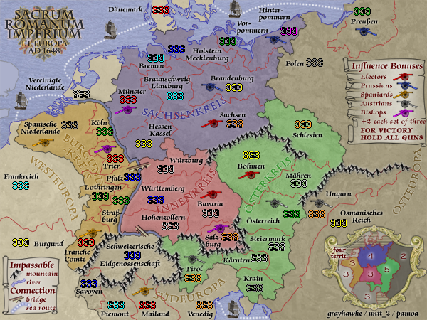
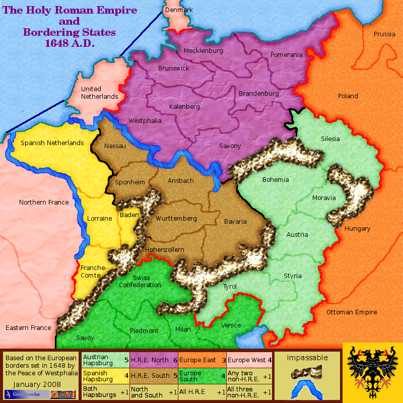
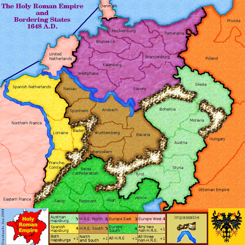
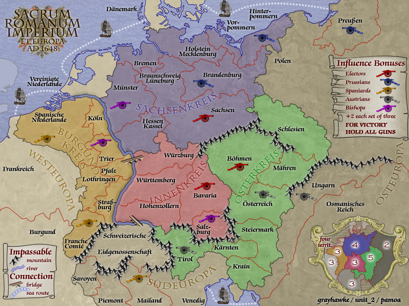
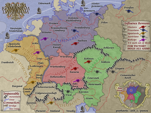
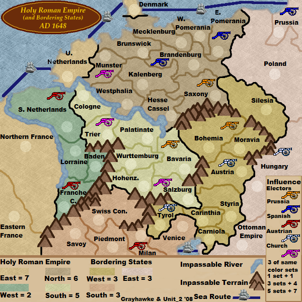
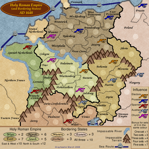
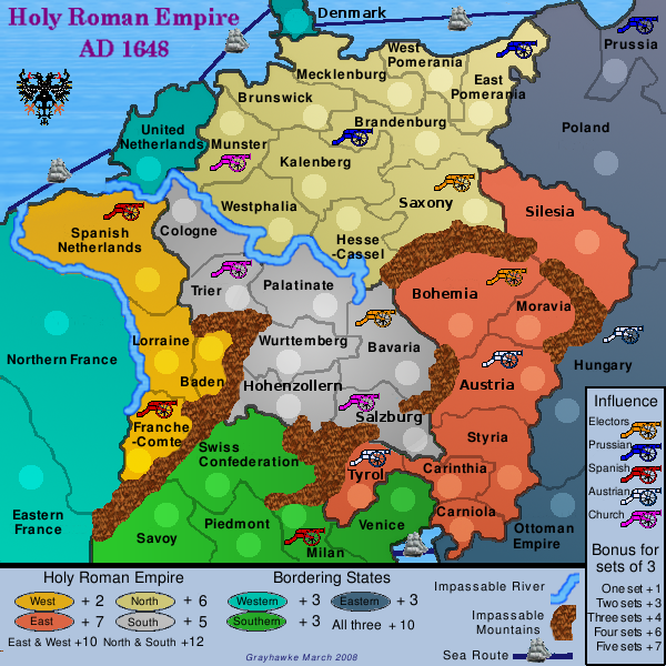
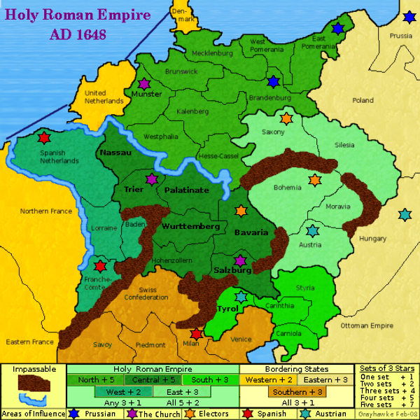
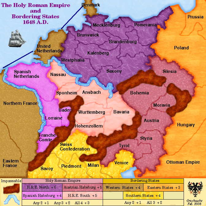
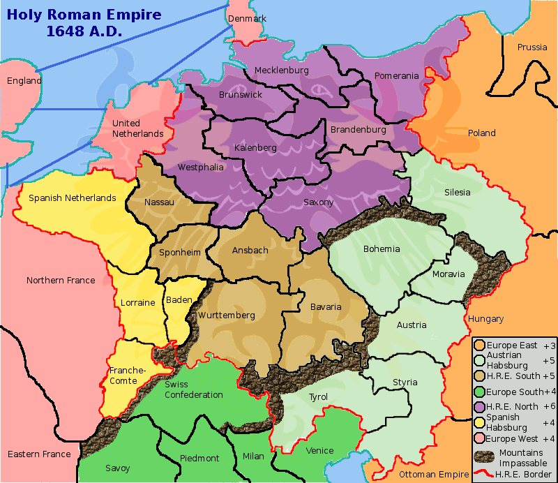
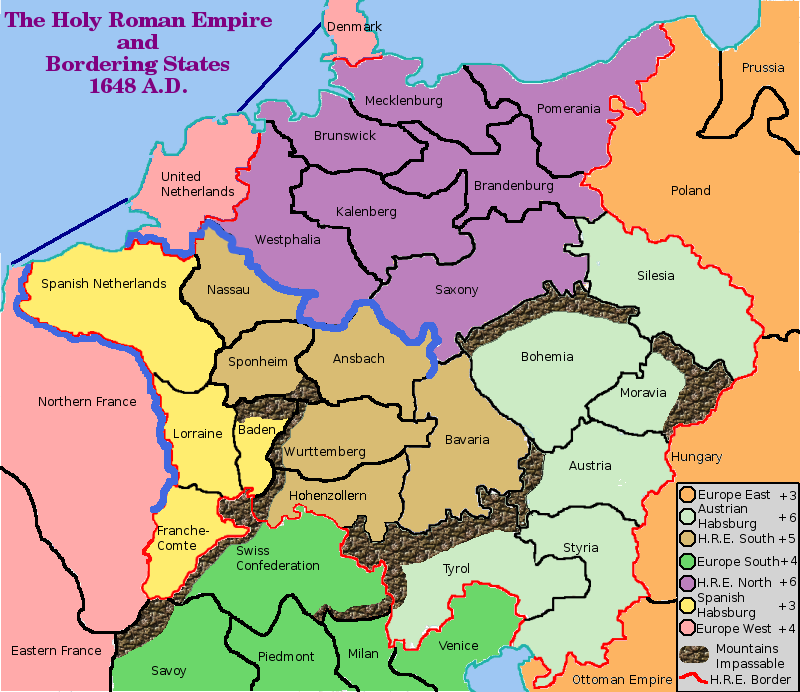
Holy Roman Empire 1648
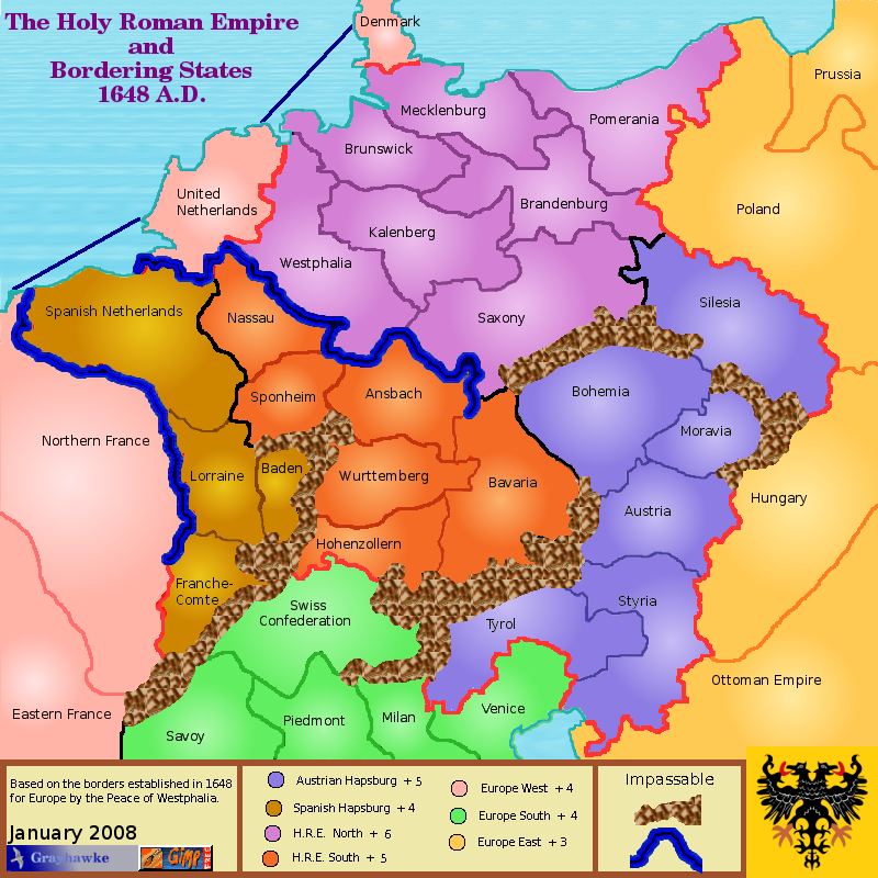
This map is based upon the boundaries set for mainland Europe following the Peace of Westphalia in 1648.
There are 42 territories forming 7 "regions"
Four empire "regions":
- Sachsenkreis...territories=9.....bonus=4
- Burgundkreis...territories=7.....bonus=3
- Innenkreis.... .territories=5.....bonus=3
- Österkreis......territories=8.....bonus=5
Three bordering states "regions"
- Westeuropa....territories=4.....bonus=3
- Südeuropa......territories=5.....bonus=3
- Osteuropa.......territories=4.....bonus=2
Extra bonuses are given for controlling "areas of influence" (from an idea suggested by iancanton). Each such area consists of 3 territories which were controlled by one of the powers of the time; there are 5 such powers giving 15 territories in total for the "areas of influence". A player who controls all 15 wins.
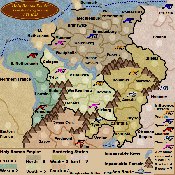
v37 large map new features: river contour, terrain legend position, armies and text position, signatures, influence legend spacing
[bigimg]http://i295.photobucket.com/albums/mm126/pamoa_ch/HRE1648v37.png[/bigimg]
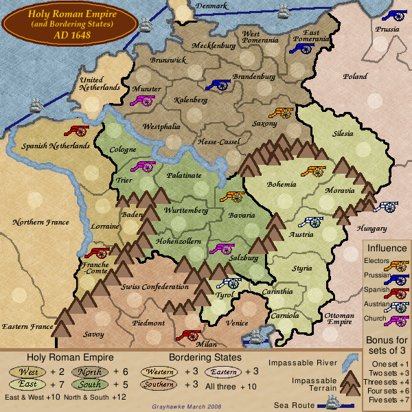
v37 small map new features: river contour, terrain legend position, armies and text position, signatures, influence legend spacing
Quenching data
map name: Holy Roman Empire 1648
link to large image: http://i295.photobucket.com/albums/mm126/pamoa_ch/HRE1648v37e.png
link to small image: http://i295.photobucket.com/albums/mm126/pamoa_ch/HRE1648v37se.png
link to XML file: http://www.fileden.com/files/2008/11/3/2172106/HRE.xml


