


_____________________________________________________________
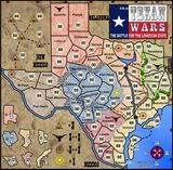
the Texan Wars
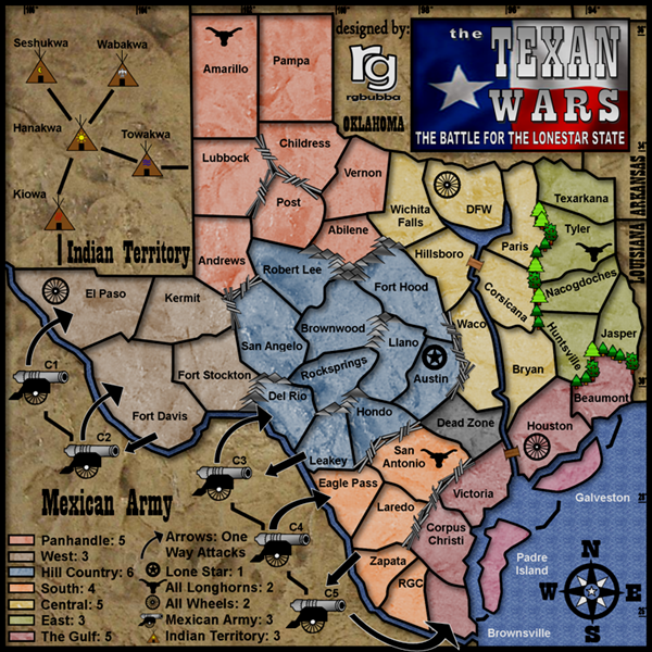
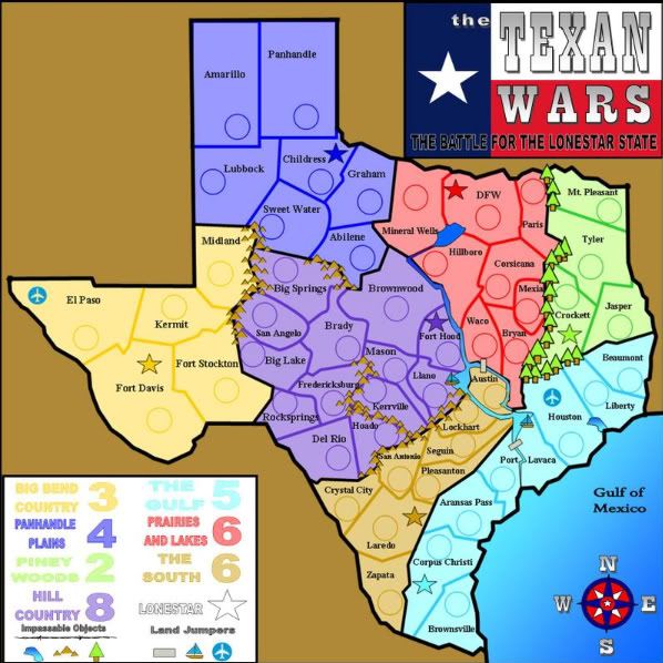
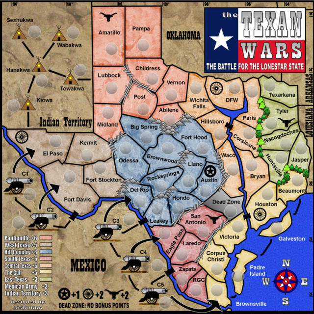
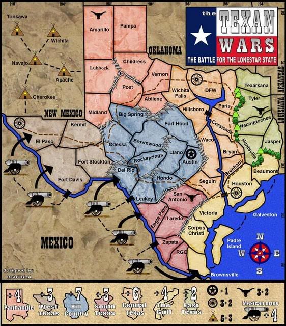
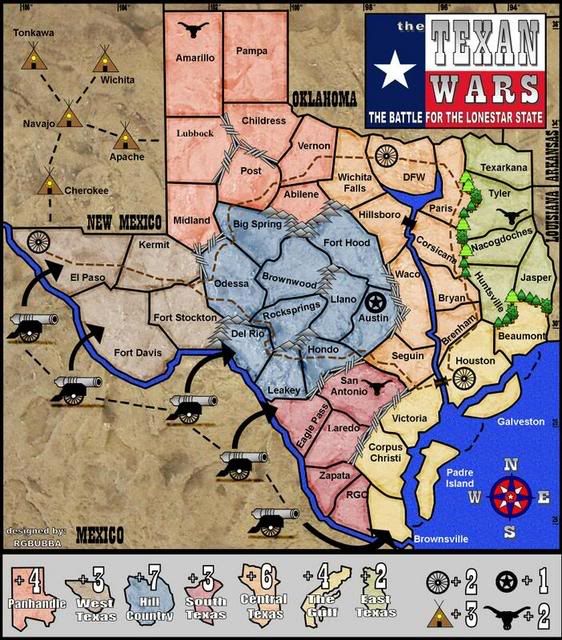
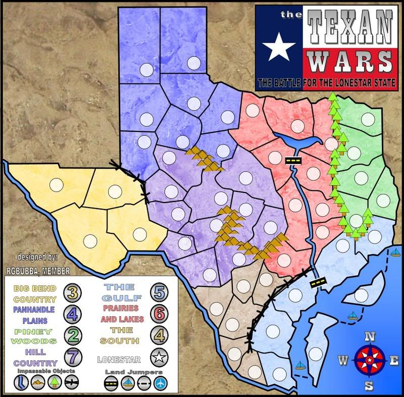
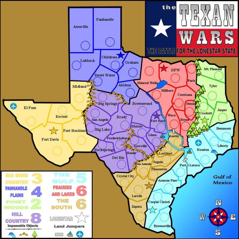
Territories: 57
Countries: 9
Bombardments: 5
Bonus: 3 (star, longhorns & wheels)
Neutrals: Yes
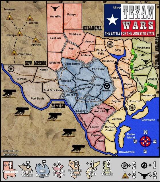
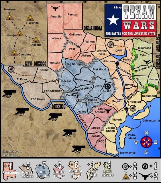
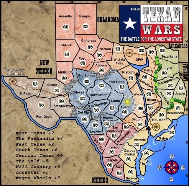
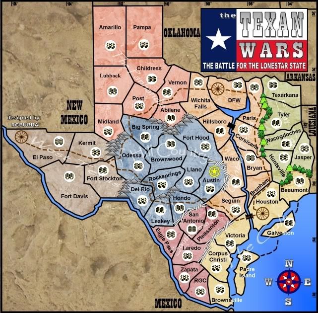
Small Map ( 5-8-08 )
Large Map ( 5-08-08 )
[bigimg]http://i115.photobucket.com/albums/n302/rgbubba/5-5-08newmap8x81.png[/bigimg]
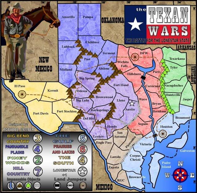
Map 1
Map 19
http://i115.photobucket.com/albums/n302 ... Large1.png
MAP 18
http://i115.photobucket.com/albums/n302 ... BOARD9.jpg
MAP 17
http://i115.photobucket.com/albums/n302 ... RD83-2.jpg
MAP 16
http://i115.photobucket.com/albums/n302 ... OARD81.jpg
MAP 15
http://i115.photobucket.com/albums/n302 ... BOARD8.jpg
Old maps are on these links:
http://i115.photobucket.com/albums/n302 ... OARD81.jpg
http://i115.photobucket.com/albums/n302 ... ARD8-1.jpg
http://i115.photobucket.com/albums/n302 ... 0645-1.jpg
http://i115.photobucket.com/albums/n302 ... D20644.jpg
http://i115.photobucket.com/albums/n302 ... D20641.jpg
http://i115.photobucket.com/albums/n302 ... BOARD5.jpg
http://i115.photobucket.com/albums/n302 ... 1-07-1.jpg
Map1
http://i115.photobucket.com/albums/n302 ... ARSMAP.jpg


 Children, this is what happens to hockey players, druggies, and Hillary Clinton.