Danish Invasion of England(Danelaw)
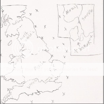
Im proposing a map of when the danes invaded england.It would be a map of england cut up into the kingdoms of Mercia, Northumbria, Wessex, and East anglia with the kingdoms being further cut into counties.
Thier would also be a smaller map of the Nordic Countries and ships off the coast of both countries.
Map of england
http://www.valeriodistefano.com/00/inglese/1/7/0/3/17037/17037-h/images/v1-map-3.jpg
Nordic Countries
http://upload.wikimedia.org/wikipedia/commons/a/a7/Nordic-countries.png
Bonuses would be for each kingdom, all of the nordic nations, and possibly for the Danes boats.There could also be 1 to 2 more kingdoms but im still thinking about that.
Im not good with art or HTML so I would need someone to help me with those two
