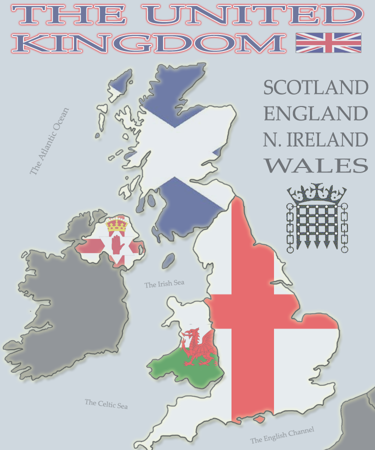
Looks nice, and rebel, I understand the n. Ireland political point but i believe the vague Ireland outline was what he was going for, you see it on many maps they make the borders look smooth and not totally geographically correct, personally I think it looks good.
Gimli, the idea of cities sounds appealing and I have some ideas for how the bonus should be structured.
 Bonuses-
Maybe +1 per 3 cities?
or
Sort them into category's, tourist towns, mining, factory's, ect. Some can belong to more than one group and have bonuses for owning a % or all of a group.
Game play-
London could be split into multiple sections in a small London side map (Like on Rail, USA) or you could just start it with lost of neutrals and have a bonus for holding it.
You could incorporate regions (owning all the cities in a region= big bonus)
I have more ideas and will post them as I remember.
As you can see I love the look of the map and are really excited about this! Lets hope the '1 map per a region activists' don't quash it!
GREAT WORK!