Pacific Theatre - WW2 (different)
Hi,
I was reading through past threads in the map foundry and noticed a few people requesting a Pacific Theatre - ww2 map. Obviously the expansive dead region in the ocean presents a problem. I think I have a unique and potentially fun solution, but I lack the graphical skills to pull it off. This is where you come in. First, let me explain.
Have a look at this map for reference:
The map in that link is a close representation to what I envision. Ideally, we would also have the Eastern portion of the US, as well as portions of Central and South America. The reason is that by using that map, or something similar, we include the entire Pacific rim (an important feature). I envision several bonus regions in the Americas, Asia, Australia, and Oceania.
The most important and novel feature that makes this map playable is this: have the ocean be covered in hexagonal tiles filled with 1 neutral army each. BUT, these tiles reset to neutral after TWO turns. That way, players can send out naval fleets in any direction - as long as they keep on the move the fleets will remain relevant. This would encourage island hopping, unconventional and unique attack and defense strategies for every game played, etc.
You could couple these geographic features with a couple of other options: ports that autodeploy to encourage naval game play, safety regions in the ocean where you could park your fleet without reset risk, or capital city deployment and victory rules.
What do you think? The key point here is the combination of hexagonal and geographic territories, as well as the extended neutral reset feature on the oceans.
I have next to no graphical or programming ability, so I'll need someone more experienced to help out.
I was reading through past threads in the map foundry and noticed a few people requesting a Pacific Theatre - ww2 map. Obviously the expansive dead region in the ocean presents a problem. I think I have a unique and potentially fun solution, but I lack the graphical skills to pull it off. This is where you come in. First, let me explain.
Have a look at this map for reference:
- Click image to enlarge.
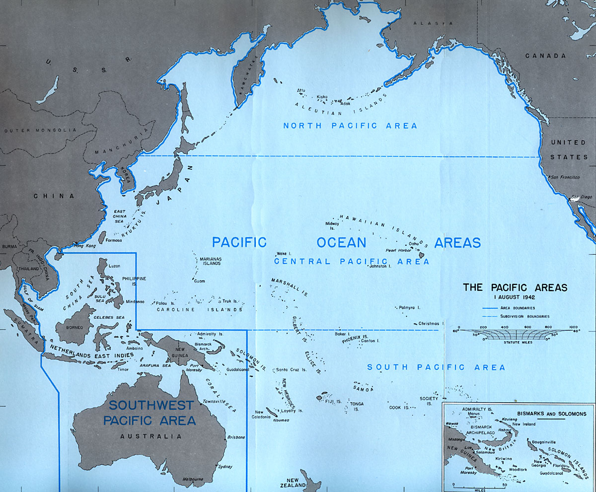
The map in that link is a close representation to what I envision. Ideally, we would also have the Eastern portion of the US, as well as portions of Central and South America. The reason is that by using that map, or something similar, we include the entire Pacific rim (an important feature). I envision several bonus regions in the Americas, Asia, Australia, and Oceania.
The most important and novel feature that makes this map playable is this: have the ocean be covered in hexagonal tiles filled with 1 neutral army each. BUT, these tiles reset to neutral after TWO turns. That way, players can send out naval fleets in any direction - as long as they keep on the move the fleets will remain relevant. This would encourage island hopping, unconventional and unique attack and defense strategies for every game played, etc.
You could couple these geographic features with a couple of other options: ports that autodeploy to encourage naval game play, safety regions in the ocean where you could park your fleet without reset risk, or capital city deployment and victory rules.
What do you think? The key point here is the combination of hexagonal and geographic territories, as well as the extended neutral reset feature on the oceans.
I have next to no graphical or programming ability, so I'll need someone more experienced to help out.